Land Surveyor Wahoo NE: 7 Questions to Ask Before Hiring

Before hiring a land surveyor Wahoo NE property owners should ask about the required survey type, records research, fieldwork, deliverables, schedule, pricing, and relevant local experience. Clear answers to these seven questions help confirm that the survey will support your land purchase, property boundary, fence, subdivision, civil site design, financing, or construction project.
A qualified Nebraska professional land surveyor should provide a written scope that accounts for Saunders County land records, legal descriptions, property corner monuments, easements, field conditions, and the needs of your lender, attorney, designer, contractor, title company, or public agency. This guide explains how to compare Wahoo land surveying services and prepare for a useful proposal.
Key Takeaways for Hiring a Land Surveyor Wahoo NE
| Point | Details |
|---|---|
| Start with the purpose | Explain whether the survey supports a purchase, fence, building, subdivision, permit, design, financing, or dispute. |
| Confirm the survey type | A boundary, topographic, ALTA/NSPS, construction, or subdivision survey addresses different needs. |
| Ask about research | Reliable boundary work usually includes review of deeds, plats, prior surveys, easements, legal descriptions, and available public records. |
| Define deliverables | Confirm whether you will receive a signed survey plat, corner information, CAD data, contours, construction staking, or other requested files. |
| Discuss timing and access | Weather, vegetation, monuments, property access, records, and review requirements can affect the schedule. |
| Compare scope, not price alone | A lower quote may exclude research, property corner setting, agency coordination, staking, or digital files. |
Table of Contents
Start With the Property and Project Purpose
A surveyor cannot recommend the right scope without understanding why the work is needed. A homeowner locating a fence line may need a boundary survey Wahoo, NE property owners can rely on, while a developer may require a topographic survey, utility locations, elevation data, easement information, and digital files for civil engineering design.
Tell the surveyor what decision follows the survey. Relevant details include a planned building, land purchase, parcel split, drainage concern, agricultural facility, title requirement, roadway improvement, or disagreement about occupation near a property line. When the work will continue into design or construction, reviewing what civil engineers evaluate before a site is ready for design can help identify the field data and site features that should be included.
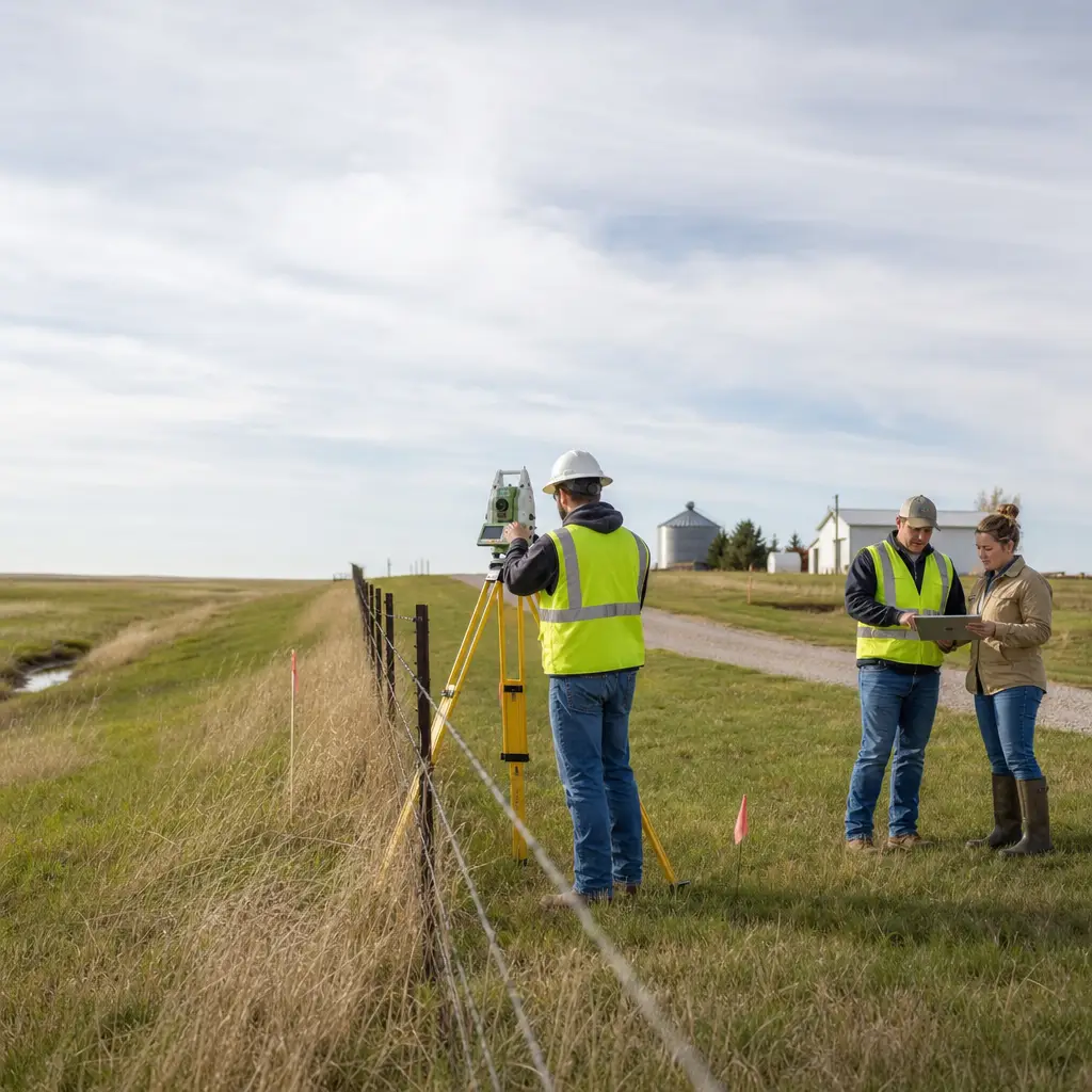
Expert guidance: A well-defined survey begins with the question the client needs answered—not merely the acreage or street address.
Pro Tip: After the first actionable recommendation, send the surveyor your deed, title commitment, prior survey, site sketch, and intended project use. These documents help a licensed land surveyor identify the correct parcel, understand title exceptions, estimate research needs, and prepare an accurate scope.
Questions 1–2: Survey Type and Records Research
1. What type of survey does my project require?
Ask the surveyor to explain the recommended survey type and why it matches your objective. Common Wahoo, NE land surveying services include boundary surveys, topographic surveys, ALTA/NSPS Land Title Surveys, subdivision surveys, construction staking, and as-built surveys. Each serves a different purpose, follows different standards, and produces different information.
| Survey Type | Typical Use | Points to Confirm |
|---|---|---|
| Boundary survey | Property lines, fences, additions, purchases, or boundary questions | Monument recovery, property corner setting, encroachments, and signed survey plat |
| Topographic survey | Site, grading, drainage, utility, or building design | Contours, visible features, vertical datum, survey limits, and digital format |
| ALTA/NSPS survey | Commercial real estate, lender review, and title due diligence | Current standards, title commitment, Table A items, easements, and lender requirements |
| Subdivision survey | Creating, combining, or adjusting parcels | Local process, legal descriptions, approvals, and recording |
| Construction staking | Transferring design locations and elevations into the field | Stake types, tolerances, survey control, phases, and restaking terms |
| As-built survey | Documenting constructed improvements | Features, elevations, certification, and agency requirements |
The National Society of Professional Surveyors publishes the minimum standards used for ALTA/NSPS Land Title Surveys. Nebraska licensing information is available through the Nebraska Board of Engineers and Architects, which regulates professional land surveyors in the state. Confirming licensure helps establish that the responsible surveyor has met Nebraska’s professional requirements.
2. What records will you research before fieldwork?
Ask whether the scope includes deeds, recorded plats, legal descriptions, title commitments, easements, prior surveys, section corner records, and adjoining property information. A Saunders County land surveyor may need to reconcile record evidence with survey monuments, occupation lines, fences, roads, buildings, and other physical evidence found during fieldwork.
Public GIS mapping can assist with preliminary planning, but it is not a substitute for a professional boundary determination. The Saunders County government website is a starting point for identifying local offices and public records, while the Bureau of Land Management’s land records resources provide background on the federal Public Land Survey System.
Research is particularly important when deeds contain older descriptions, recovered monuments do not appear to match online parcel maps, or fences and other improvements occupy a different line. The surveyor must assess the available record and field evidence rather than treating one source as automatically controlling.
Questions 3–4: Fieldwork and Deliverables
3. What will your field crew locate, measure, or set?
Clarify the field limits before work begins. For a residential land survey in Wahoo, Nebraska, the crew may search for existing property corners, measure occupation features, locate buildings, and set missing monuments when appropriate. A design survey may instead focus on spot elevations, contours, utilities, pavement, drainage structures, trees, retaining walls, buildings, or roadway features.
- Will all property corners be searched for and identified?
- Does the fee include setting missing corners when supported by the survey?
- Will fences, sheds, driveways, walls, buildings, or other potential encroachments be shown?
- Are underground utilities included, or must utility locating be arranged separately?
- Will vertical control, benchmarks, coordinates, or contours be established?
- Does the field crew need access to neighboring land?
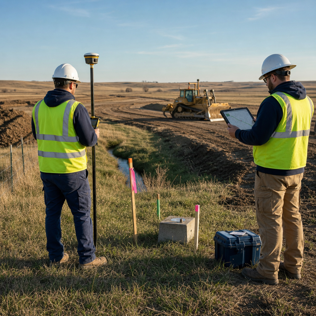
For construction-related work, discuss whether the surveyor can support machine control support in site development or follow-up as-built documentation. Coordination between survey control, field data, engineering plans, and construction staking can reduce gaps between what was designed and what can be built under actual site conditions.
4. Exactly what deliverables will I receive?
Do not assume every proposal includes a paper plat, signed PDF, digital drawing, corner certificate, legal description, CAD file, or staking. Ask for a written list of deliverables, file formats, certifications, survey datum, coordinate system, and the number of review or revision rounds included.
A homeowner may need a signed survey plat and clearly identified corners, while an engineer or contractor may require CAD files, point data, a digital terrain model, coordinates, benchmarks, or survey control information. When surveying supports a broader development, understanding what is included in a civil site plan for Nebraska projects can help the owner request useful topographic and utility data at the beginning.
If drainage or floodplain conditions affect the property, ask whether the survey can provide elevations and features needed for water resource engineering for rural and urban infrastructure in Nebraska. The FEMA Flood Map Service Center is the official public source for flood hazard mapping, although project-specific elevation or floodplain work may require additional professional analysis.
Questions 5–7: Schedule, Pricing, and Experience
5. What could affect the schedule?
Ask for an expected fieldwork window and delivery timeframe, but also ask what assumptions support that schedule. Research complexity, snow, standing crops, dense vegetation, difficult access, missing survey monuments, delayed title documents, agency review, and an expanded scope can all affect completion.
Tell the surveyor about closing dates, permit submittals, contractor mobilization, planting or harvest, fence installation, and other fixed milestones. Responsive communication matters, so confirm who will provide updates and how quickly the surveyor will raise questions that could change the scope, fee, or delivery date.
6. How is your fee structured, and what could change it?
Request a written proposal stating whether the work is fixed-fee, hourly, or based on an estimated range. The scope should identify assumptions, exclusions, reimbursable expenses, optional services, payment terms, and conditions that may require additional authorization.
- Records research and title document review
- Field crew time and travel
- Property corner recovery or monument setting
- Drafting, boundary calculations, and professional review
- Legal descriptions, easement exhibits, or subdivision documents
- CAD, point cloud, terrain surface, or machine-control files
- Meetings, agency coordination, revisions, construction staking, or return trips
Pro Tip: Compare proposals line by line. A quote that appears less expensive may omit corner setting, digital data, title coordination, staking, easement mapping, or other work required to achieve your actual objective.
7. What relevant local and project experience do you have?
Ask about similar property types, local land records, rural section surveys, municipal requirements, agricultural operations, residential lots, commercial sites, parcel subdivisions, or construction support. Relevant experience helps a surveyor anticipate access limitations, record conflicts, approval steps, and the deliverables other project participants will need.
Also confirm that the responsible professional is appropriately licensed and carries suitable insurance. For agricultural or rural properties, experience with drainage, livestock facilities, access roads, utilities, and phased expansion may also be important. The discussion of agricultural site design challenges and how engineers solve them provides context for the survey information commonly needed on working farm and livestock sites.
How to Prepare Before Calling a Surveyor
Good information makes the initial conversation more productive and helps the surveyor price the work accurately. You do not need to resolve every technical issue yourself, but you should be prepared to describe the property, intended use, deadline, and known concerns.
- Provide the property address and parcel identification information.
- Share the current deed, legal description, title commitment, easement documents, and prior surveys if available.
- Explain why the survey is needed and who will rely on it.
- Identify your desired timeline and any closing, permit, fence, or construction date.
- Describe access restrictions, livestock, crops, locked gates, tenants, or known hazards.
- List the desired paper and digital deliverables.
- Identify your attorney, lender, architect, engineer, contractor, or title company when coordination is needed.
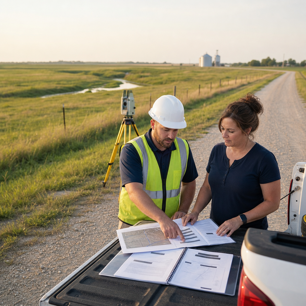
For excavation or construction planning, remember that a boundary or topographic survey is not the same as a utility locate request. Nebraska’s one-call notification center, Nebraska 811, provides information about requesting utility locates before excavation. Utility marks can also have limitations, so ask the project team how visible utility evidence, record information, and designated utility locations will be documented.
Choose a Land Surveyor Wahoo NE Property Owners Can Trust
The best survey proposal is not simply the lowest number. It clearly identifies the survey type, records research, fieldwork, survey standards, deliverables, timing, assumptions, and fee structure required for your property decision or project.
By asking these seven questions, property owners can evaluate Wahoo, NE land surveying services on comparable terms and reduce avoidable surprises. A capable professional land surveyor should listen carefully, explain technical issues in plain language, and recommend a precise scope grounded in legal records, reliable measurements, survey monuments, and actual field conditions.
Learn more about Hazard Engineering
Frequently Asked Questions
How do I choose a land surveyor in Wahoo, NE?
Choose a Nebraska-licensed surveyor who can explain the recommended scope, records research, fieldwork, deliverables, schedule, and fees in writing. Relevant experience with Saunders County properties and your specific project type is also valuable.
How much does a boundary survey in Wahoo, NE cost?
Cost depends on parcel size, legal description complexity, available records, terrain, vegetation, access, missing corners, and requested deliverables. A surveyor generally needs the property information and intended use before providing a reliable proposal.
How long does a residential land survey in Wahoo, Nebraska take?
Timing varies with workload, weather, site access, records availability, monument recovery, and the complexity of the boundary. Tell the surveyor about any closing, permit, fence, or construction deadline at the beginning.
Do I need a survey before installing a fence?
A boundary survey can help establish the property line before a fence is placed, reducing the risk of building on neighboring land or within an easement. A fence contractor’s measurements or online parcel map do not replace a professional boundary determination.
What documents should I give a property surveyor in Wahoo, Nebraska?
Provide your deed, legal description, title commitment, prior surveys, subdivision plat, easement documents, and any relevant site plans you have. Also explain why the survey is needed and which parties will rely on it.
Is county GIS mapping accurate enough to locate my property line?
County GIS mapping is useful for general reference, assessment, and planning, but displayed parcel lines may not represent surveyed boundary locations. A licensed surveyor evaluates record and physical evidence to form a professional boundary opinion.
What is the difference between a boundary survey and a topographic survey?
A boundary survey determines property lines using records, monuments, measurements, and applicable law. A topographic survey maps elevations and physical features for planning, engineering, drainage, grading, or construction design.
Can one firm provide both surveying and civil engineering?
Yes, an integrated firm can collect field data and use it for site, grading, drainage, utility, agricultural, or construction work. This coordination can improve communication and help ensure the survey deliverables match the engineering and field implementation needs.
Recommended Reading
- Building Nebraska: What Site Civil Design Really Means
- How Land Grading and Utility Design Impact Long-Term Maintenance Costs
- Utility Conflicts: How Early Detection Prevents Costly Redesign
Discuss your next project with Hazard Engineering